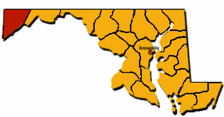
 Garrett County is the westernmost county in the State. It ranks first in total area and second in land area (because some of the total area is water). Garrett is called tableland because it is a plateau. The average elevation is 2,500 feet. Garrett County is bordered on the South and West by West Virginia and on the East by Allegany County.
Garrett is truly a four-seasons county with spring, cool summer, colorful fall and plenty of snows for winter. It is considered Maryland's mountaintop playground because 1/5 of the county is made up of parks, lakes, and forest. Deep Creek Lake, Maryland's largest inland body of water, is the focus of the county's recreation industry.
Garrett County is basically a dairy and livestock area because of the climate, growing season, soil type and topography. It presently ranks 4th in the state in dairy production with most of the milk being sold in Pennsylvania. Maple sugar is a unique product of Garrett County with 10 to 15 sugar camps still operating.

Garrett was the last Maryland County to be formed (1872). It got its name from John W. Garrett, an businessman and president of the B & O Railroad. It was the B & O Railroad that first introduced tourism to Garrett County.
The highest point in Maryland, Backbone Mountain, is in Garrett County. It is 3,360 feet high and ranks 32nd among the states. The county seat is Oakland.